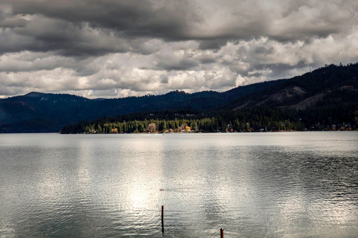
What lies beneath the waters of Hayden Lake? We’ll have a better idea soon
Calling it the great unknown might be a stretch.
It’s not exactly the final frontier, or a place where no man has gone before.
But some mysteries remain at the bottom of Hayden Lake. For now, at least.
This week, volunteers are out on the water collecting data on 3,800 acres of lake bottom. That data will be used to make a map, which will provide a detailed explanation of what’s beneath the surface of the North Idaho lake. Part of the new map could be available to the public in a few weeks.
Mary Ann Stoll, communications and public outreach manager for the Hayden Lake Watershed Improvement District, said high-definition lake mapping is valuable for a few reasons.
For one, having more information on the lake bottom will help the watershed improvement district educate the public, Stoll said. Bathymetric data could also be helpful for water quality research, search and rescue operations and invasive plant management.
In most cases, fishermen are the main users and beneficiaries of lake maps. Knowing terrain, vegetation and hardness of a lake bottom makes it far easier to predict fish hot spots.
Most of the volunteers helping collect the data are anglers.
“We’re harnessing the wisdom of the crowd,” said Ray Valley, an aquatic biologist and BioBase product expert with Navico. Navico is a marine electronics business participating in the lake mapping effort, and BioBase is the company’s mapping software.
On Monday, volunteers began crisscrossing Hayden Lake in boats, using their sonar-powered fish finders to measure the contours of the bottom. The entire data collection effort should take about 40 man hours, Valley said.
After collecting the data, volunteers will upload it to BioBase, which will generate a multilayered map. One layer will show the lake bottom topography, another will show vegetation and a third will show hardness.
Once the map exists, anglers will be able to use it with their fish finders, so long as they’re using Navico-owned Lowrance brand equipment.
The depth contour map will be available for free on Navico’s C-Map Genesis website and the C-Map app, alongside maps for thousands of other lakes around the world. The vegetation and hardness maps will be available through the paid version of the C-Map app.