Spokane might be socked with another snowy winter as La Nina forms
The Spokane region better brace for another snowy winter as a weak La Nina develops in the tropical Pacific Ocean.
It’s too early to say for sure, but the U.S. Climate Prediction Center put the odds of a La Nina at between 55 percent to 65 percent.
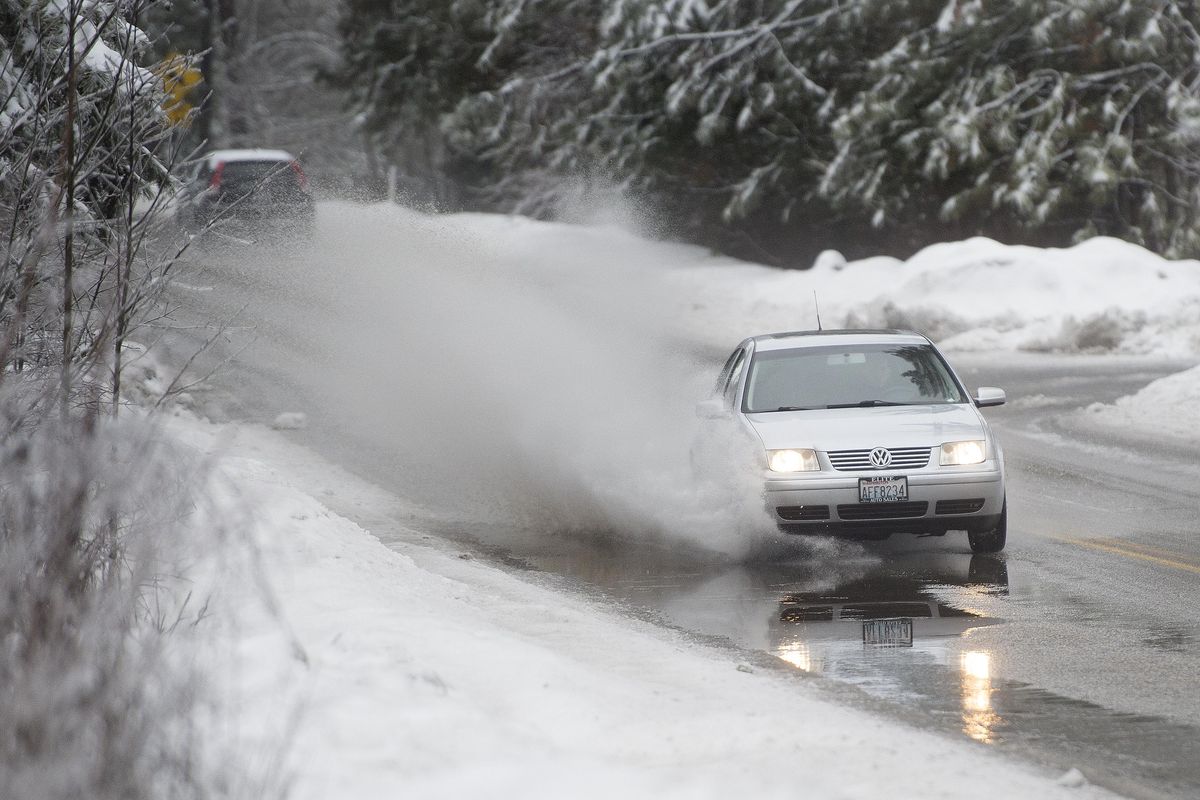
The La Nina winter of 2016-17 brought weeks of brutal weather, 61.5 inches of snow to Spokane and several rounds of freezing rain and drizzle.
The new La Nina predictions come as some areas in the region – especially the mountains – braced for National Weather Service forecasts of snow and cold Thursday and Friday. Several inches of snow were forecast by Friday morning in the central Panhandle mountains and Blue Mountains of southeast Washington.
A strong area of low pressure this week has brought the cooler conditions southward from the Gulf of Alaska and threatens to cause the first widespread frost in lower elevations Friday night. Spokane’s overnight low on Friday is expected to be 31 degrees.
Is this a harbinger of late fall and winter to come?
Jon Fox, forecaster for the weather service in Spokane, said he thinks Spokane will see plenty of snow, but not a brutal winter like the last one.
“I think it is going to be a more typical winter,” he said. The climate center also is predicting temperatures near normal. In Spokane, that means highs near freezing. In addition, the center is calling for greater-than-normal precipitation.
Even so, that means a chance of more than 45 inches of snow, which is the city’s average snowfall for the past three decades.
Fox said La Nina is just one climate variation that can affect winter weather, so a weak La Nina might not deliver a strong winter punch.
“There are so many variables that go into the equation,” Fox said.
The La Nina cooling in the tropics could cause the storm track, or jet stream, to split, with one branch coming southward from the Gulf of Alaska and another branch coming onshore from the subtropics with plenty of moisture. When the two combine, the result is snow even in lower elevations.
Heavy snowfall in Oregon, California and Southern Idaho last winter was a classic case of La Nina.
In the record-setting winter of 2008-09, Spokane saw 74 inches of snow in three weeks.
But in the La Nina winter of 2005-06, Spokane saw just 27.3 inches of snow.
Ski areas can only hope for the stronger, snowier version.
Brad McQuarrie, general manager at Mt. Spokane Ski and Snowboard Park, said snow on the ground in lower elevations has the effect of getting people excited to go skiing, resulting in more skiers and boarders flocking to the mountains.
The Mt. Spokane Facebook page is calling for a “three-peat” this year with the third good ski season in a row.
“We are looking forward to a good season,” McQuarrie said.
In fact, Mount Spokane got its second round of snow Wednesday morning after an early season cool down brought the first snow to the mountain in September.
At Silver Mountain Resort above Kellogg, the mountain web cam at the top of the resort’s gondola terminal at 5,700 feet in elevation showed a good covering of snow Thursday afternoon.
This week’s cooler autumn weather should lift for Sunday and Monday, when drier, milder air is expected. However, more showers are likely starting on Tuesday as the region comes under a moist flow off the Pacific Ocean.
Showers are expected Friday with a high of only 48 degrees. Highs should warm to around 50 on Saturday, 55 on Sunday and 60 on Monday. Lows should go from 31 Friday night to the mid-30s over the weekend.